
Public Open Space Mapping and Management Strategy for Mumbai
Building a Data Driven and Citizen Centred Framework for Mumbai's Public Open Spaces
Public open spaces are essential to a healthy, liveable, and climate resilient city. They provide opportunities for recreation, improve environmental quality, strengthen biodiversity, and create spaces where communities can gather and interact. Yet, despite their importance, Mumbai continues to face a severe shortage of accessible public open spaces, while many existing parks and gardens remain underutilised or poorly managed. To address these challenges, the Urban Design Research Institute (UDRI), in partnership with NAGAR, developed the Public Open Space Mapping and Management Strategy for Mumbai, a comprehensive framework that combines spatial data, governance frameworks, and citizen partnerships to improve the planning, management, and stewardship of the city's public open spaces.
Public Open Space Mapping and Management Strategy for Mumbai
Understanding Mumbai's Open Space Challenge
Despite being one of the world's most densely populated cities, Mumbai provides only 1.28 sq.m. of existing public open space per person, far below national and international benchmarks.
The challenge extends beyond the limited availability of land. Public open spaces are affected by:
Development Plans that reserve land but provide little guidance for long-term management
Fragmented governance across multiple agencies
Inconsistent records and lack of reliable data
Encroachments and restricted public access
Uneven maintenance and management practices
Limited mechanisms for citizen participation
State of public open spaces in Mumbai
Without an integrated system to map, monitor, and manage these spaces, it becomes difficult to protect and enhance one of the city's most valuable public assets.
Creating a Comprehensive Management Strategy
Recognising these challenges, UDRI and NAGAR developed a strategy that combines detailed field surveys, GIS mapping, policy analysis, and stakeholder engagement to build a comprehensive understanding of Mumbai's public open spaces
The strategy is built around three interconnected components:
1. GIS-Based Public Open Space Database
A comprehensive spatial database that documents ownership, accessibility, amenities, environmental conditions, encroachments, maintenance status, and other key characteristics of public open spaces.
As a pilot, 627 Development Plan-designated public open spaces across K-West and P-North wards were mapped and analysed to build a comprehensive GIS database.
Public Open Spaces (EOS + ROS) in K-West Ward
Public Open Spaces (EOS + ROS) in P-North Ward
2. Public Open Space Management Strategy
A city-wide strategy that provides mapping methodologies, analytical structure, project prioritisation and implementation tools, and management and governance recommendations.
3. Actionable tools to develop a digital platform for citizen reporting and prioritising investments.
The Stakeholder Action Matrix developed into a GIS based application that enables citizens to report issues, allocates responsibility to respective authority and track grievances, creating a closed loop grievance redressal system.
The Project Prioritisation and Funding Framework to identify and rank high impact interventions based on user feedback to channelise CSR contributions and MP/MLA funds in a targeted manner.
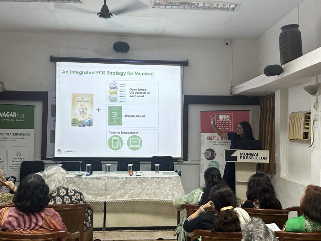
Together, these components create a transparent, data-driven system for planning, managing, and improving Mumbai's public open spaces.
Looking Ahead
While developed for Mumbai, the Public Open Space Mapping and Management Strategy offers a scalable framework for cities across India facing similar challenges of rapid urbanisation, fragmented governance, and limited public open spaces. Its mapping methodology, analytical framework, governance recommendations, and citizen engagement model can be adapted to support better planning, management, and stewardship of public open spaces in diverse urban contexts.
As cities continue to grow, protecting public open spaces will require more than reserving land through Development Plans. It will depend on reliable data, transparent governance, coordinated institutions, and active community participation. By integrating research, technology, policy, and citizen partnerships, the strategy demonstrates how public open spaces can be managed as essential urban infrastructure creating greener, healthier, and more inclusive cities for the future.
Gallery
View All Images
Related Projects
Reimagining Mumbai's Eastern Waterfront
Unlocking the Potential of Mumbai's Historic Port Lands Through Integrated Urban Regeneration
Digital Inclusion
Making Urban Data Accessible for Better Planning
Refurbishment and Upgradation of MG Road, Fort, Mumbai
Transforming Historic Streets Through Heritage Sensitive Urban Design