
Status Report on Spatial Planning in Indian Cities
Mapping India's Spatial Planning Systems for Better Urban Futures
India's cities are expanding at an unprecedented pace, creating new opportunities for economic growth, improved livelihoods, and better quality of life. At the same time, rapid urbanisation has increased the demand for coordinated planning that can integrate housing, infrastructure, mobility, environmental conservation, and public services. While every state has developed its own planning framework, there has been limited understanding of how these systems function in practice. To address this gap, the Urban Design Research Institute (UDRI) undertook one of the first comprehensive studies of spatial planning systems across India, documenting how cities plan, govern, and manage urban growth.
Status Report on Spatial Planning in Indian Cities
Why Spatial Planning Matters
Urban growth is reshaping India's social, economic, and environmental landscape. As cities expand beyond their traditional boundaries, planning can no longer be limited to regulating land use or preparing master plans. Effective spatial planning brings together transportation, housing, infrastructure, environmental management, economic development, and public spaces to guide growth across metropolitan regions, cities, neighbourhoods, and precincts. It helps cities anticipate future needs while creating places that are more inclusive, resilient, and sustainable.
Despite its importance, spatial planning in India remains highly diverse. Different states follow different planning legislations, institutional arrangements, and governance structures. National policies and urban missions have introduced important reforms, but variations in implementation have made it difficult to compare planning systems, identify common challenges, or learn from successful practices across states.
Understanding India's Planning Landscape
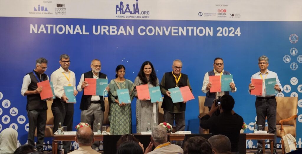
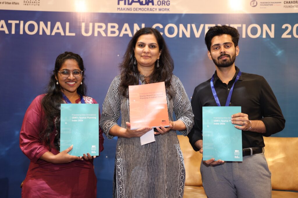
Recognising the need for a clearer understanding of planning systems, UDRI launched the Progressing Urban Development: Status Report on Spatial Planning in Indian Cities. The study provides a comparative overview of how spatial planning is organised and implemented across India by examining the legislative, institutional, and governance mechanisms that shape urban development. Instead of evaluating individual development plans, the report focuses on the broader planning ecosystem that enables cities to prepare, implement, and monitor spatial plans.
The report also establishes a common understanding of spatial planning. It explains how planning extends beyond city level development plans to include regional planning, local area planning, and precinct level interventions that collectively influence the way cities evolve over time.
A Nationwide Research Initiative
The study draws upon extensive primary and secondary research undertaken across 25 cities in 23 states and 2 Union Territories. UDRI combined legislative review, desktop research, field visits, stakeholder interviews, and consultations with planning authorities to understand how planning systems function on the ground. Initial pilot studies in Mumbai, Patna, and Srinagar helped develop a robust comparative framework that was later applied across the country.
Map showing the location of various Indian cities under study. Image Source: UDRI
To enable meaningful comparison across different governance contexts, the research examined five interconnected dimensions of spatial planning:
State legislative structure
Organisation structure
Spatial planning capacity
Monitoring and GIS data management
Citizen engagement mechanisms
Together, these themes provide a comprehensive picture of the institutional foundations that support effective spatial planning.
Building a Common Framework for Spatial Planning
One of the report's key contributions is the development of a consistent framework for understanding spatial planning across India. Drawing from the 74th Constitutional Amendment, central planning guidelines, national missions, and state planning legislation, the study identifies four interconnected planning levels that together form the country's spatial planning framework:
Regional Plans
Development Plans
Zonal or Local Area Plans
Development Schemes and Layout Plans
This framework demonstrates how planning responsibilities are distributed across different levels of government and highlights opportunities to improve coordination between legislation, institutions, and planning practice.
From Research to Reform
The Status Report is intended to serve as more than a documentation exercise. By capturing local experiences, identifying institutional gaps, and highlighting good practices, the study creates opportunities for cross learning between states and cities. It also provides practical recommendations and a spatial planning checklist that can support governments in strengthening planning systems and improving decision making.
Alongside the Status Report, UDRI developed the Spatial Planning Index, which benchmarks planning systems using a common assessment framework. Together, these two publications provide complementary tools for understanding existing planning systems while supporting evidence-based policy reform and institutional strengthening across India.
Looking Ahead
India's future will increasingly be shaped by how well its cities and regions are planned. As urbanisation extends beyond municipal boundaries into metropolitan, peri urban, and rural areas, planning systems must become more integrated, adaptive, and collaborative.
The Status Report on Spatial Planning in Indian Cities provides an evidence-based foundation for this transition. By documenting how planning systems currently function and identifying opportunities for improvement, the report supports governments, practitioners, researchers, and institutions in building more coordinated, transparent, and people centred approaches to spatial planning.
Gallery
View All Images
Related Projects
Reimagining Mumbai's Eastern Waterfront
Unlocking the Potential of Mumbai's Historic Port Lands Through Integrated Urban Regeneration
Digital Inclusion
Making Urban Data Accessible for Better Planning
Refurbishment and Upgradation of MG Road, Fort, Mumbai
Transforming Historic Streets Through Heritage Sensitive Urban Design